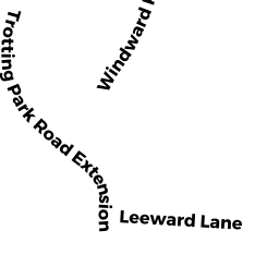
27 LANYARD LANE WD
Owner Information
KALLAS DAVID
27 FREEMAN LANE
DENVILLE, NJ 07834-1418


Property Details
27 LANYARD LANE WD is classified as a Two-Family Residential (Mutii-wtr).
The primary structure on this property was built in 1960. There are 1,680ft2 of built area within this property. There is 1,680ft2 of residential/living space within this property. This property is listed as having 10 rooms. There are 2 units within this property.
27 LANYARD LANE WD is valued at $694,200. The land is valued at $466,400 and the structures are valued at $227,800.
27 LANYARD LANE WD was last sold on Friday, November 9, 2018 for $600,000.
Assessment data from fiscal year 2022.
Flood Data
This property is partially within the AE Zone (within floodplain). Approximately 0.17 acres (100.0%) of the property is within this zone.
The base flood elevation for this flood zone is 12 feet.
This information is sourced from the FEMA National Flood Hazard Layer. See our full disclamer.
Broadband Internet Providers
| Provider | Type | Bandwidth (mbps) | |
|---|---|---|---|
| Verizon New England Inc. | DSL | 5 | 0 |
| GCI Communication Corp. | Satellite | 0 | 0 |
| HughesNet | Satellite | 25 | 3 |
| Viasat Inc | Satellite | 35 | 3 |
| VSAT Systems, LLC. | Satellite | 2 | 1 |
| Comcast | Cable | 1000 | 35 |
Broadband service provider data from December 2020.
Adjacent Properties
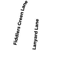
- 46 FIDDLERS GREEN LANE WD
Two-Family Residential owned by ROBINSON FRANKLIN E - 31 LANYARD LANE WD
Single Family Residential owned by HOWE ELIZABETH M TRUSTEE - 23 LANYARD LANE WD
Single Family Residential owned by ATAMIAN LEON J ET UX - 42 FIDDLERS GREEN LANE WD
Two-Family Residential owned by BRETTA THOMAS L - 38 FIDDLERS GREEN LANE WD
Two-Family Residential owned by COFFEY JUDITH A TRUSTEE